Near Celo
USGS 03463300
Loading…
Stage —
Official flow
Checking…
›
Toe River Watch
Official gauge context, community observations, clarity, and weather — organized for a quick read on any screen.
Community reports are visual observations. For dangerous weather or flooding, follow official emergency-management and National Weather Service guidance.
Official river gauges
Latest official readings where available. Older observations are labeled with their age instead of being presented as live.
Official gauge data are temporarily unavailable.
Latest river reports
Toe River Watch has just gone live. We are adding locations and improving the system as the network grows.
October 11, 2026 at 8:01 am · Wilson
October 10, 2026 at 12:45 pm · Wilson
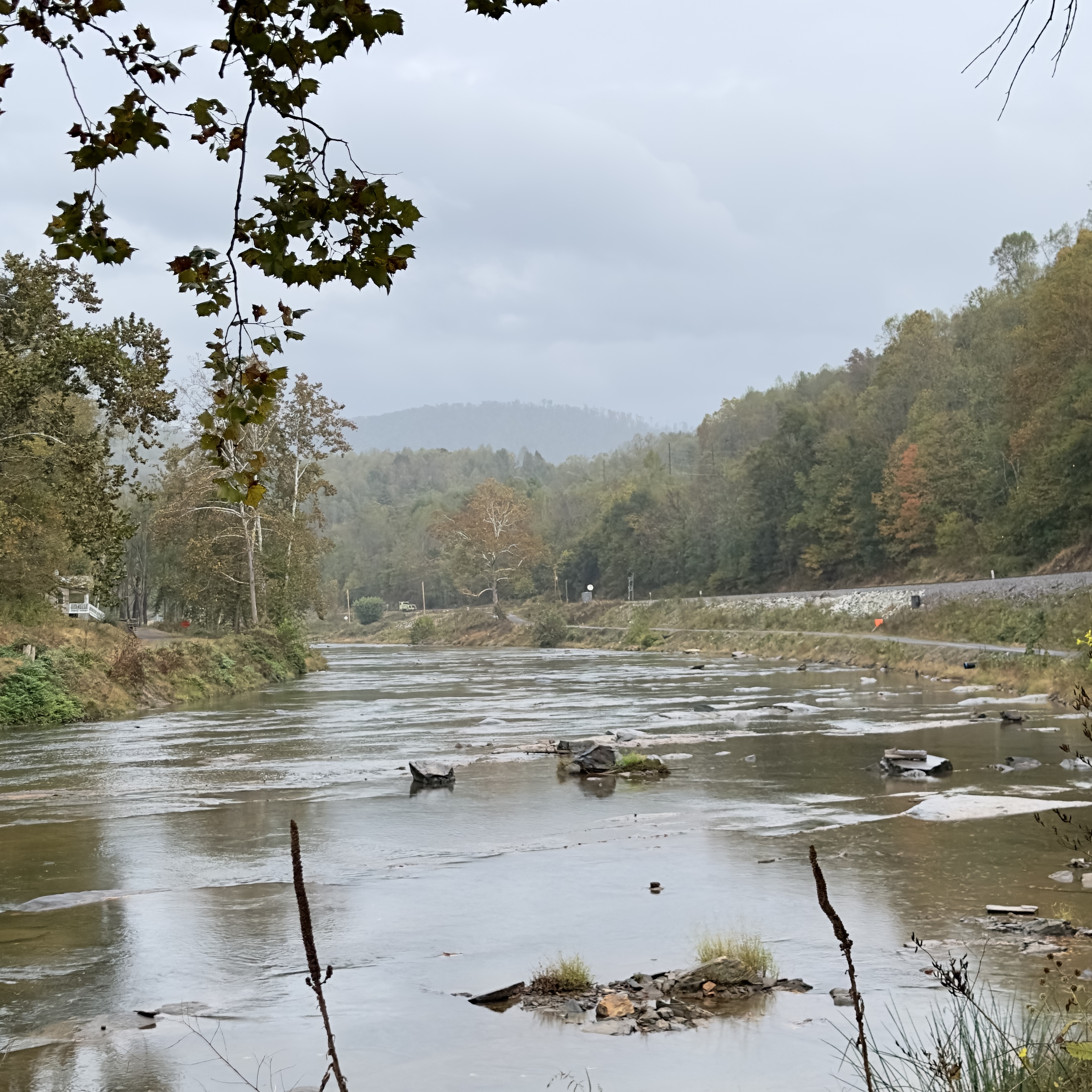
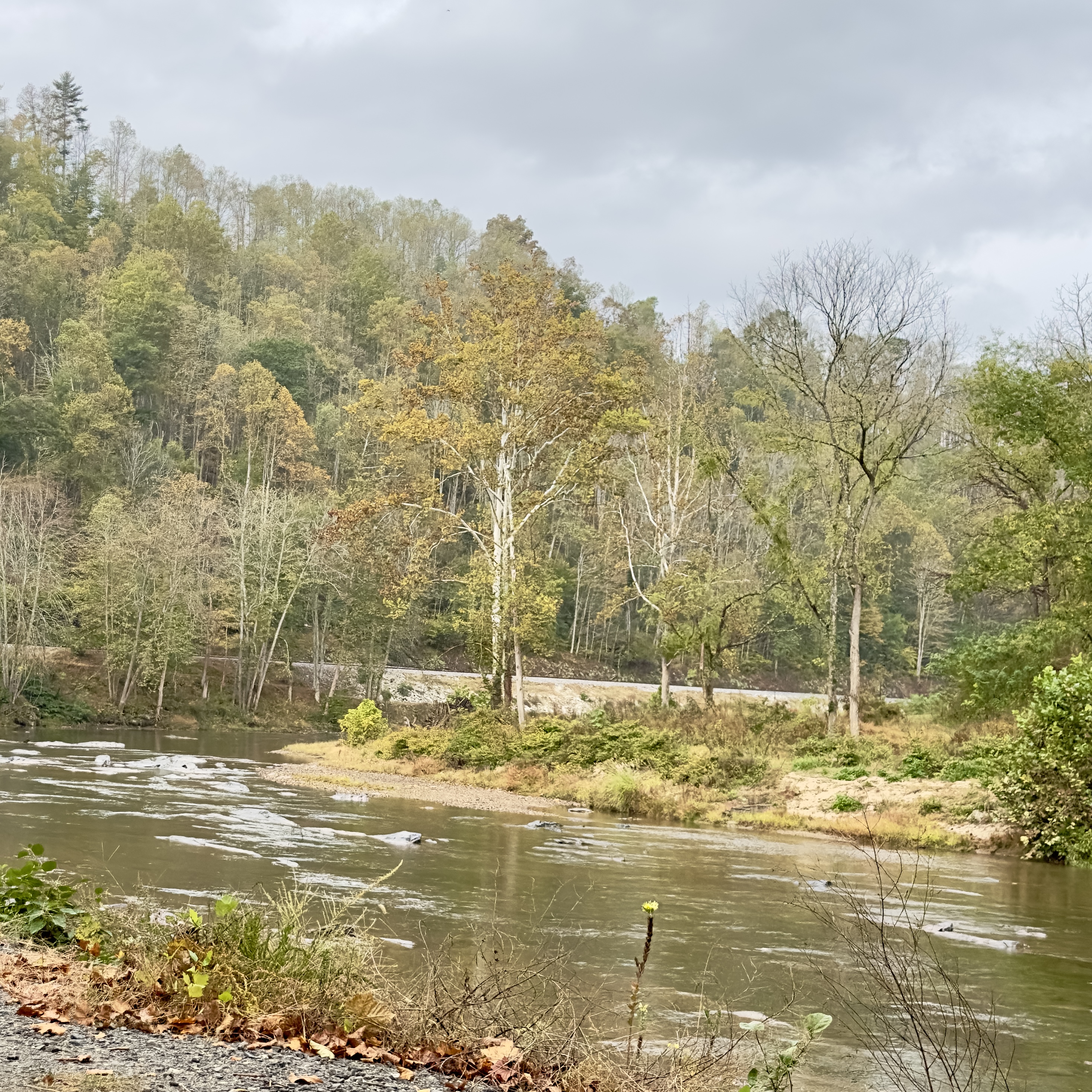
October 9, 2026 at 10:32 pm · Lisa Bender
September 7, 2026 at 12:00 pm · Holly Walker
Water is low and clear as of 11:00 am 9/7/26
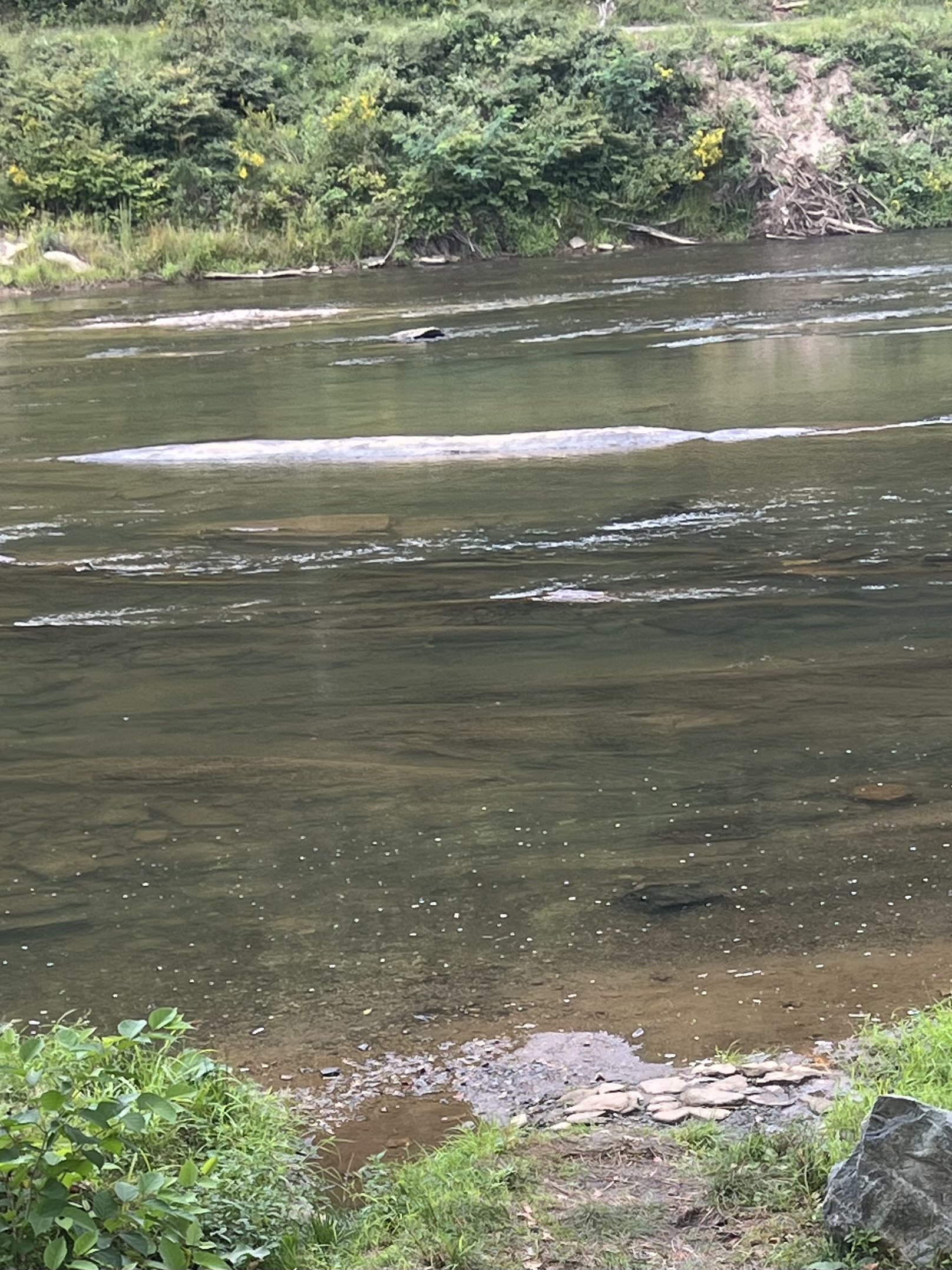
August 30, 2026 at 12:52 pm · Sarah C
August 23, 2026 at 9:38 pm · Dean
About Toe River Watch
Toe River Watch is an independent community visual reporting network for the Toe River watershed. Official gauge, weather, and agency links remain identifiable and separate from community observations.
Learn how Toe River Watch works →